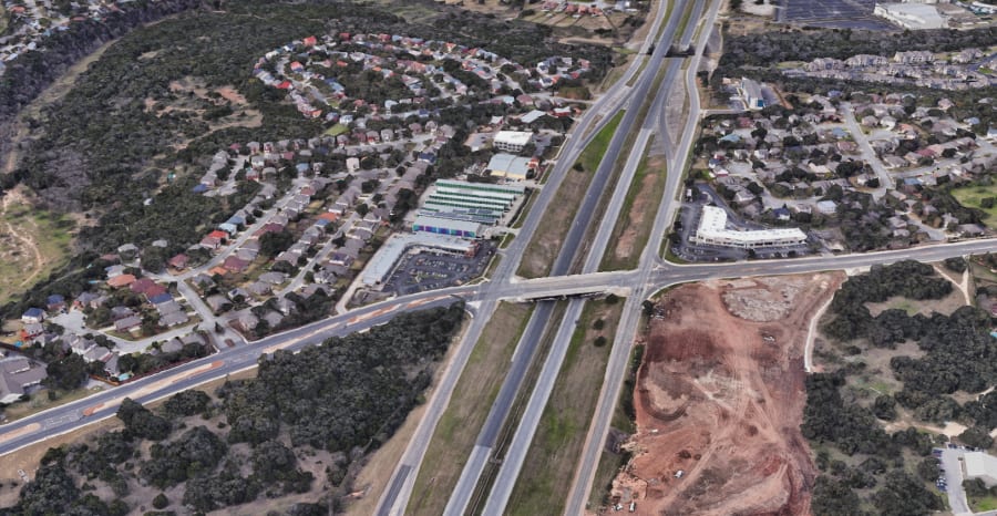
SAN ANTONIO – San Antonio has steadily grown in population over the past few decades and the roadways have grown along with it.
One of San Antonio’s most commonly traveled streets is Texas State Highway Loop 1604, also known as the Charles W. Anderson Loop.
Recommended Videos
It started as a two-lane highway in the 1970s and has morphed and expanded to include four lanes in some areas, while other areas have remained untouched for years.
TxDOT has already broken ground on a project that will increase capacity on Loop 1604 on the North Side. The $1.3 billion project stretches 23 miles from Bandera Rd. to I-35, and will expand the highway from four to 10 lanes, plus add one HOV lane in each direction.
KSAT spoke with transportation enthusiast Brian Purcell, also known as the Texas Highway Man, who shared photos of Loop 1604 that he digitized for the Texas Department of Transportation in 2017.
“The one that really blows people’s minds is Culebra and 1604,” said Purcell. That image can be seen in the photos below, along with other photos Purcell has obtained through his research.
He has a Facebook page and a website dedicated to information on highways in Texas, with a special emphasis on his hometown — San Antonio.
“I was doing mostly cursory research for the 20 years up until about five years or so ago, when I really started to dedicate a lot more effort to it,” Purcell told KSAT.
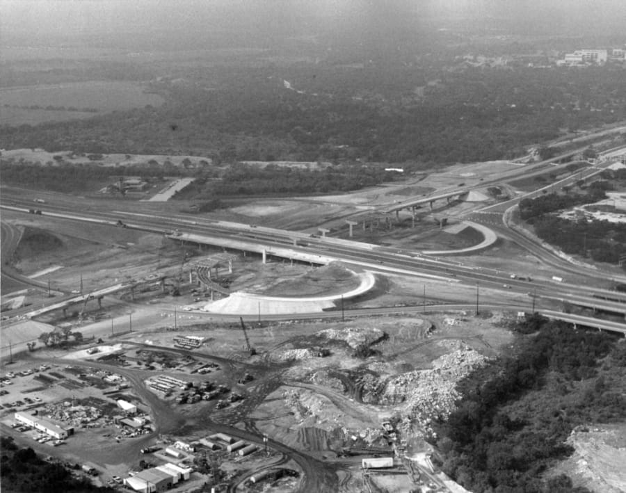
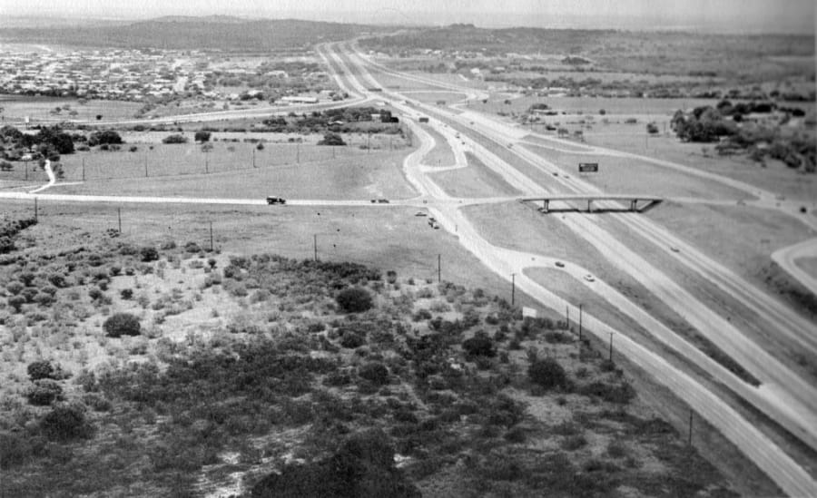
The photos show vast differences from before and after major construction projects like The Forum at Olympia Parkway, which was built in 2000 and Rolling Oaks Mall, which opened in 1988.
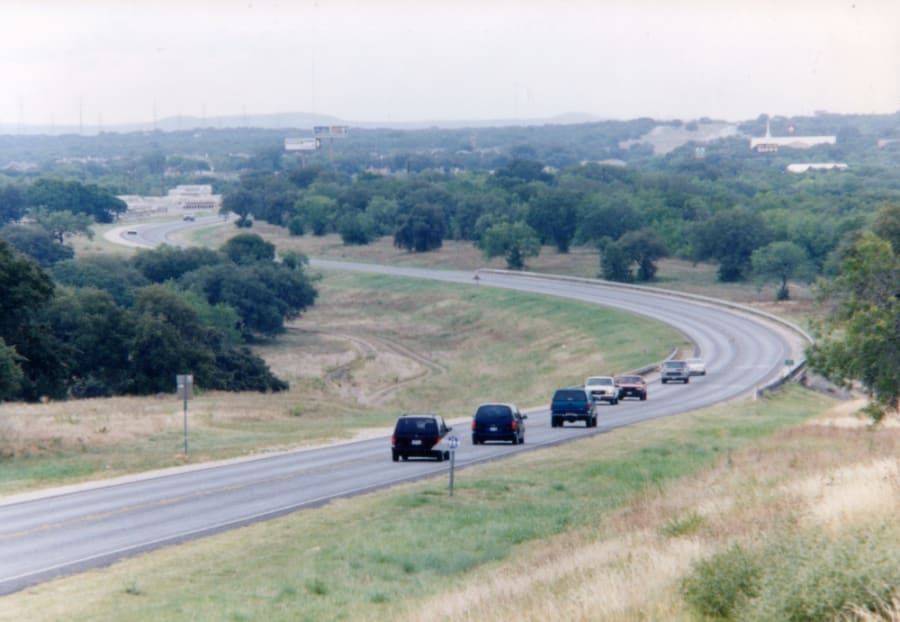
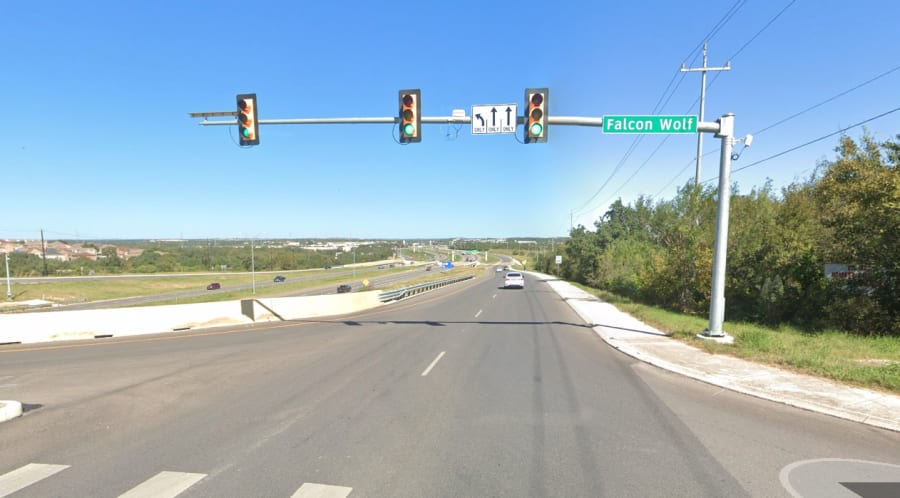
Take a look back at some past images of major intersections along Loop 1604 and what they look like in recent years:
Loop 1604 and I-10 West
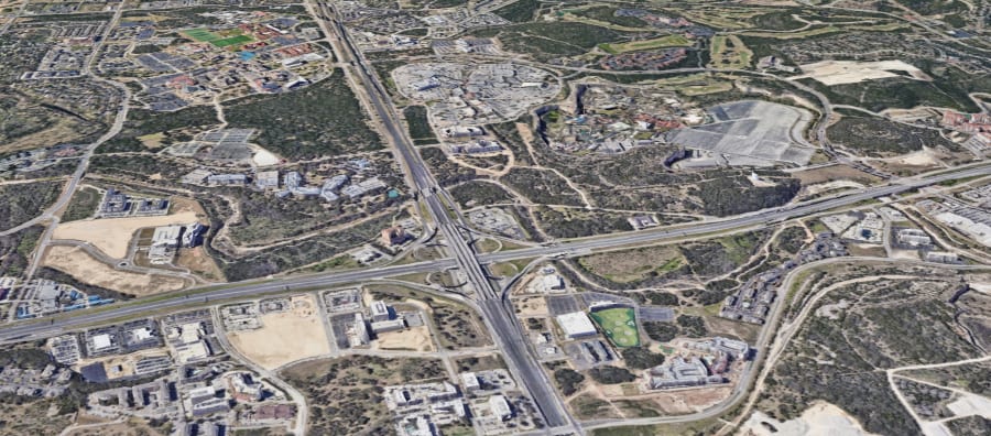
Loop 1604 and I-35 North
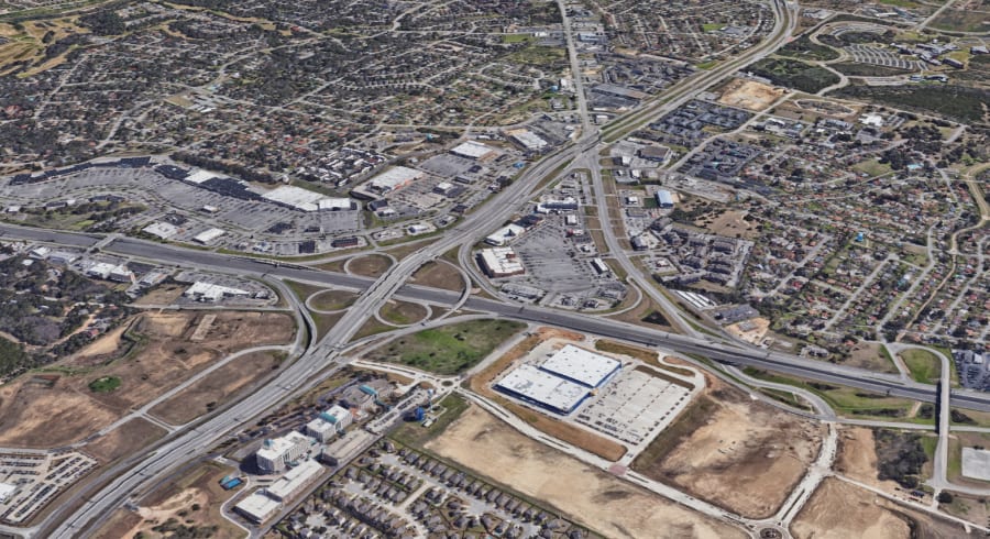
Loop 1604 and Bulverde
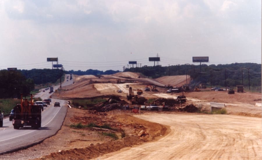
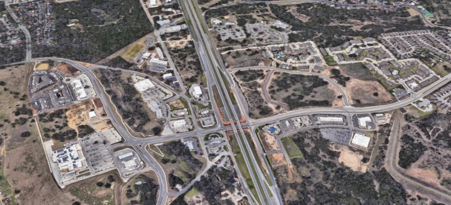
Loop 1604 and Culebra Road

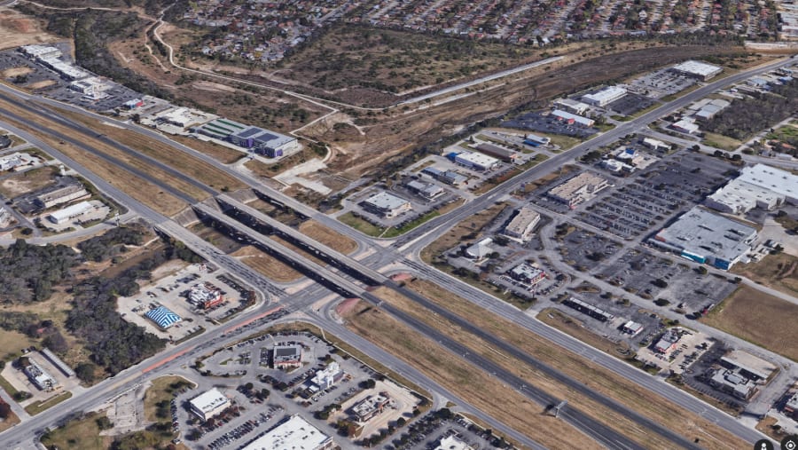
Loop 1604 and Falcon Wolf
Loop 1604 and Nacogdoches Road
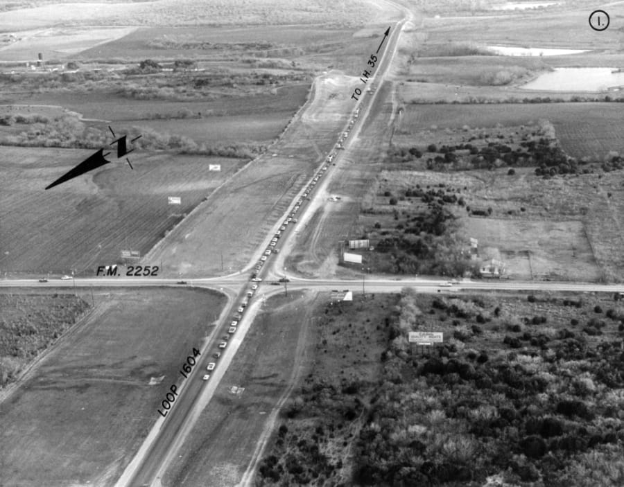
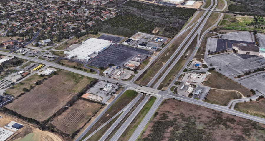
Loop 1604 and Pat Booker Road
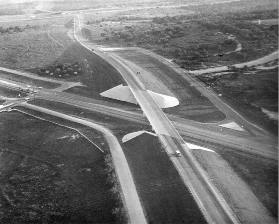
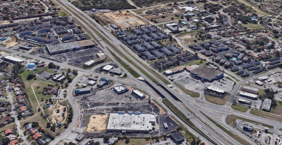
Loop 1604 and Redland

