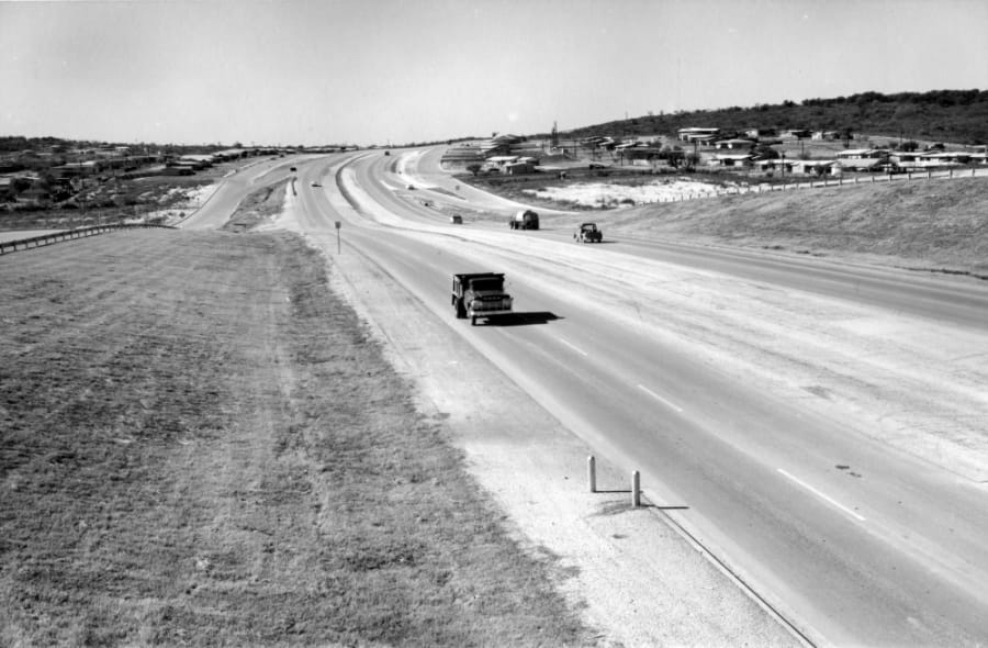
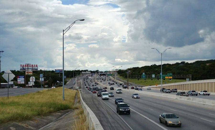
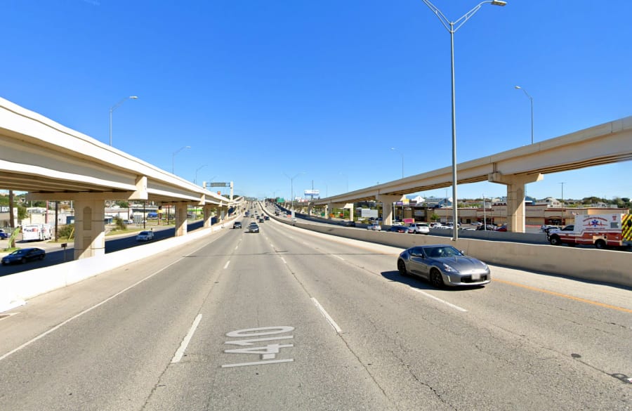
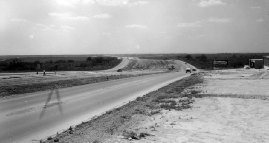
SAN ANTONIO – Loop 410, also known as the Connally Loop in honor of former Texas governor John Connally, is one of the most commonly traversed roads in the San Antonio area.
Construction on the highway started in the 1950s and the loop has gone through several million-dollar renovations since then as the road expands to accommodate the growing population of San Antonio.
Recommended Videos
Brian Purcell, also known as the Texas Highway Man, is a transportation enthusiast who helped the Texas Department of Transportation digitize some historical photos of Loop 410 back in 2017.
His website has a detailed description of Loop 410 and notes that the “northern arc is the busiest stretch of freeway in Texas outside of Houston.”
“Much of Loop 410 on the North Side started off as Loop 13 and became Loop 410 when it was included in the Interstate system in the late ‘50s,” Purcell told KSAT.
He also has a Facebook page dedicated to information about other Texas highways, however, he puts special emphasis on his hometown of San Antonio.
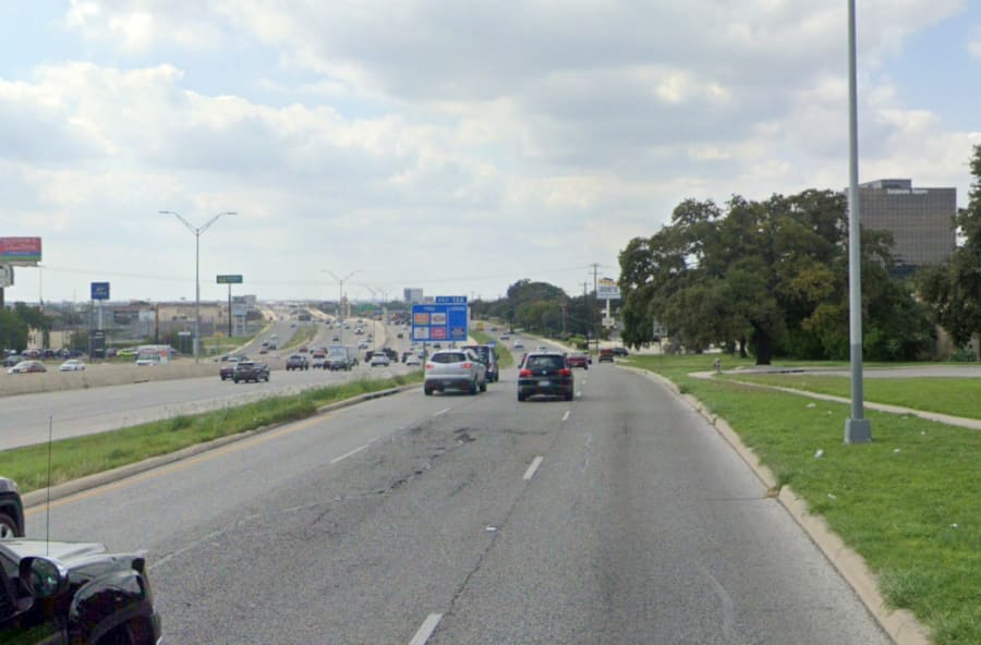
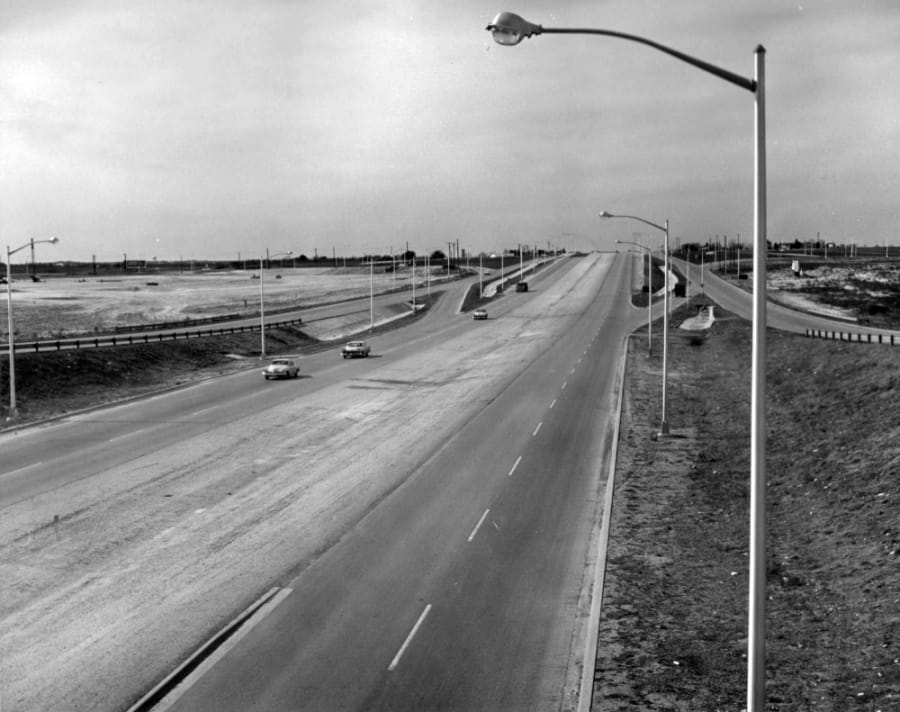
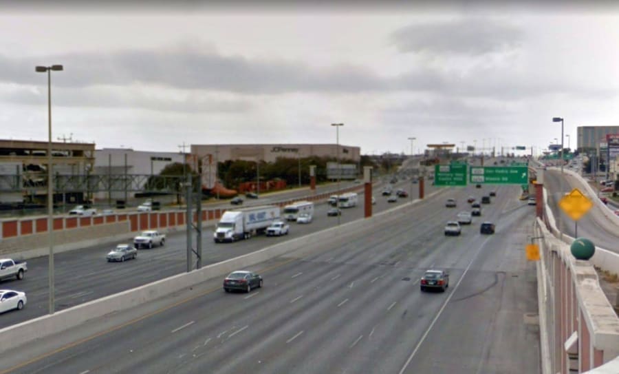
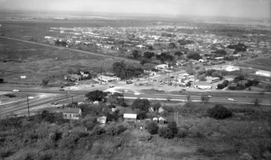
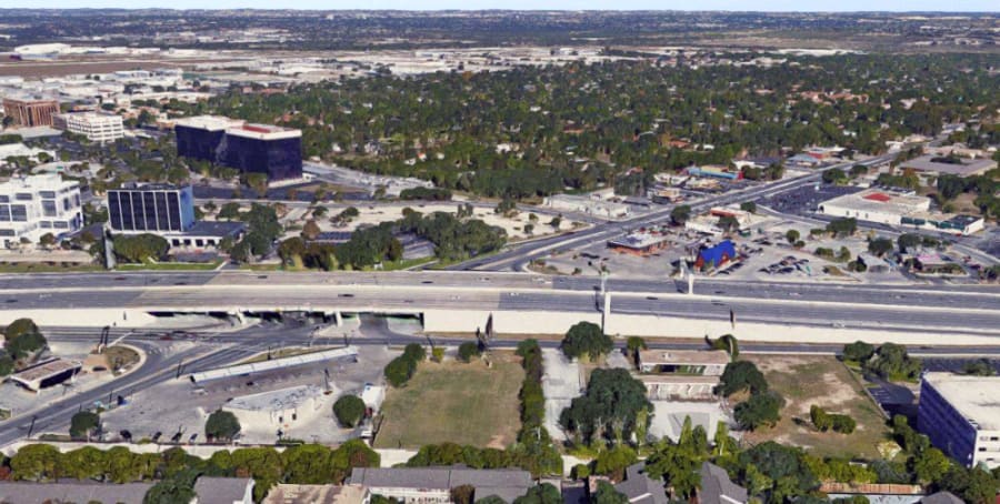
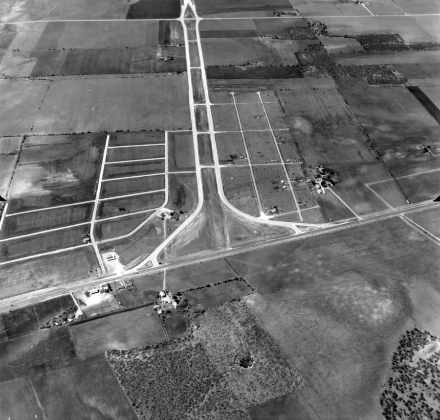
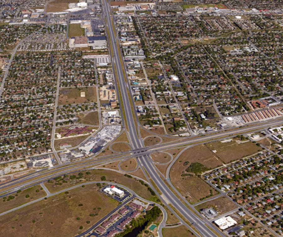
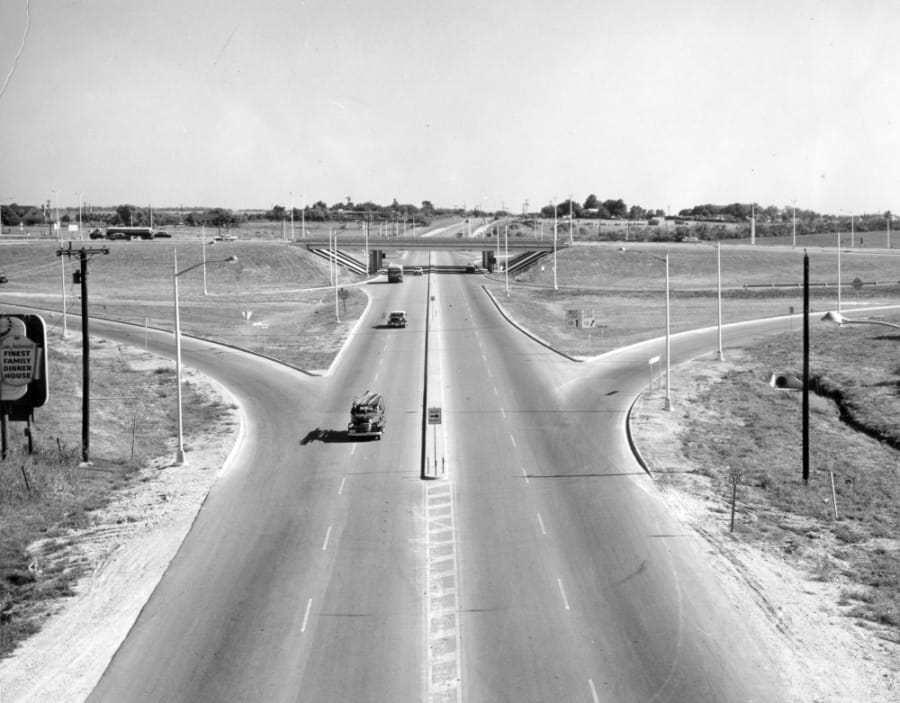
Take a look at some of the before and after photos of Loop 410:
Loop 410 and Fredericksburg Road
Loop 410 and Bandera Road

Loop 410 and Callaghan Road
Loop 410 and McCullough
Loop 410 at Nacogdoches Road
Loop 410 at US Highway 90
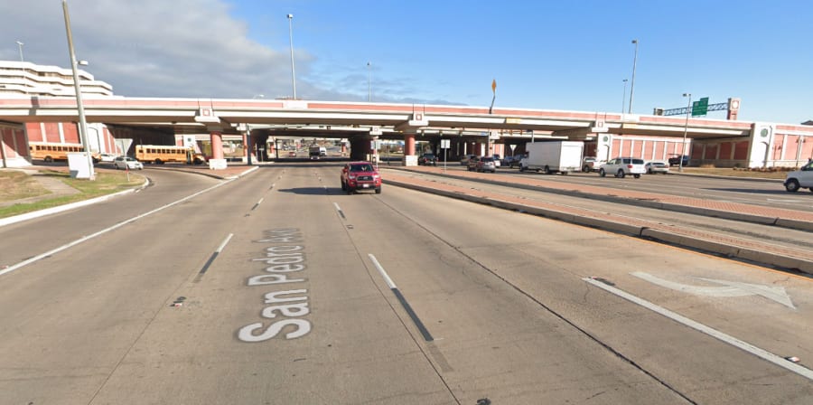
Loop 410 and San Pedro
Related:
Then vs. Now: Photos show the transformation of Loop 1604 through the years