In the days following the landfall of Hurricane Ian, people on the southwestern coast of Florida are surveying the damage and processing the start of a long road to recovery.
The Category 4 hurricane knocked out power to millions of Floridians, washed out bridges, flooded roadways and leveled several homes. Hurricane Ian is already considered one of the most powerful storms ever recorded in the U.S.
We’re now seeing the grand scope of damage through aerial imagery provided by the National Oceanic and Atmospheric Administration, or NOAA. See the before and after images below.
NOAA said it started to collect the images on Thursday in specific areas.
“Aerial imagery is a crucial tool to determine the extent of the damage inflicted by flooding, and to compare baseline coastal areas to assess the damage to major ports and waterways, coastlines, critical infrastructure, and coastal communities,” NOAA states. “This imagery provides a cost-effective way to better understand the damage sustained to both property and the environment.”
Watch below: Aerial view over Naples after Ian passed
As of Monday, people who live on barrier islands were still stranded with limited cellphone service, food, water and electricity, according to the Associated Press.
The AP reported that more than 1,600 people have been rescued across Florida, and at least 61 people have been confirmed dead in the state. The storm also resulted in the deaths of four in North Carolina and three in Cuba.
Authorities have said the death toll is expected to rise.
Photos: Before and after images of the southwestern coast of Florida following Hurricane Ian’s damage

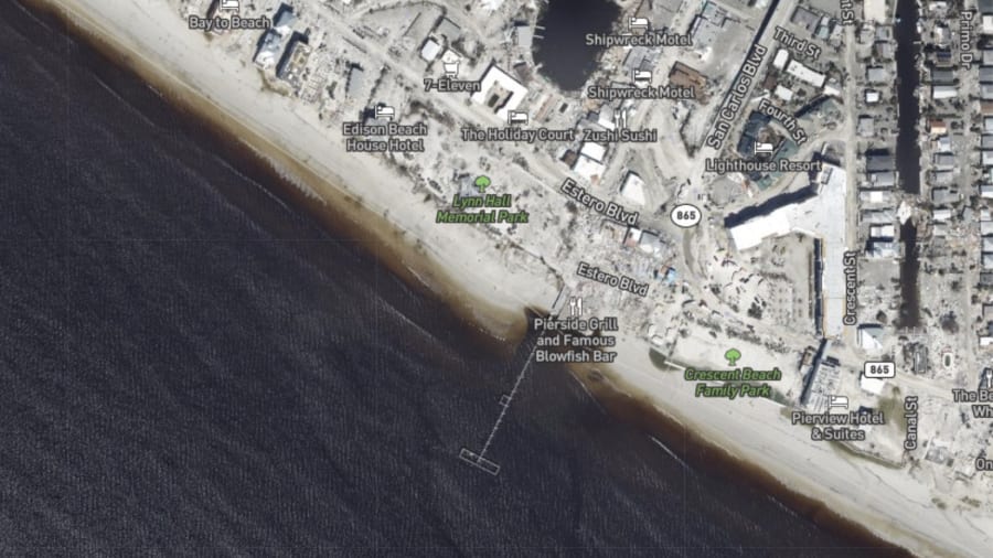


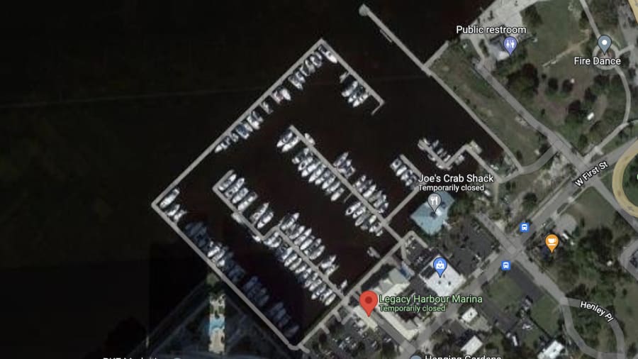
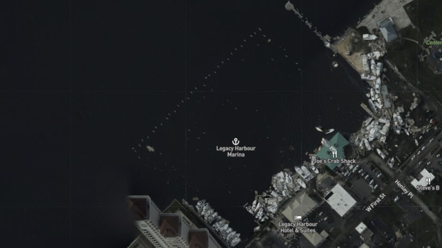
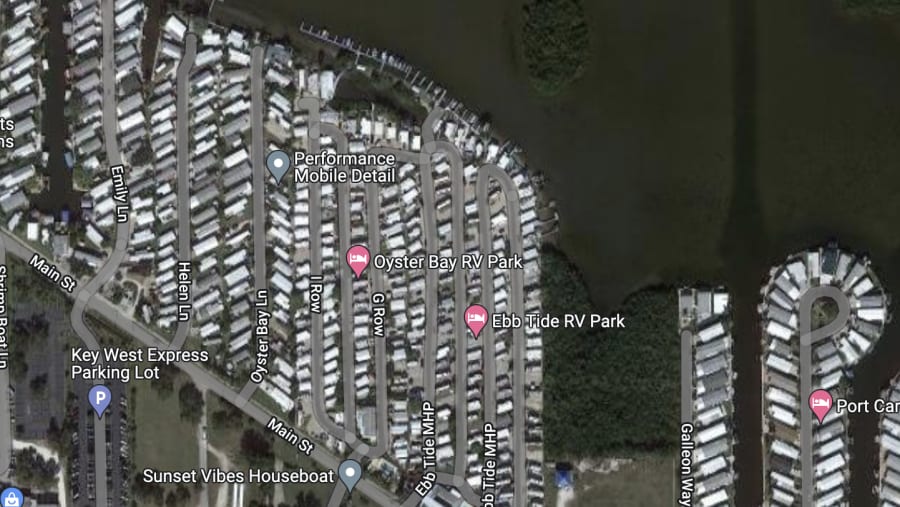
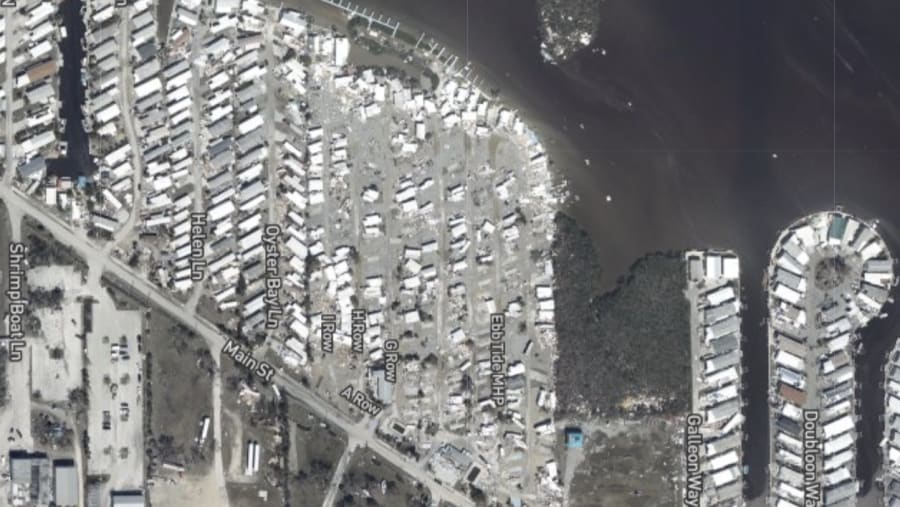
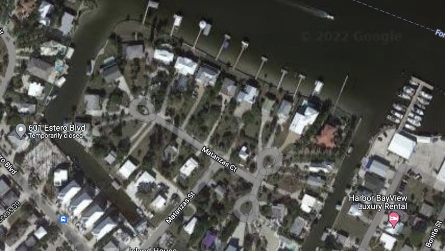
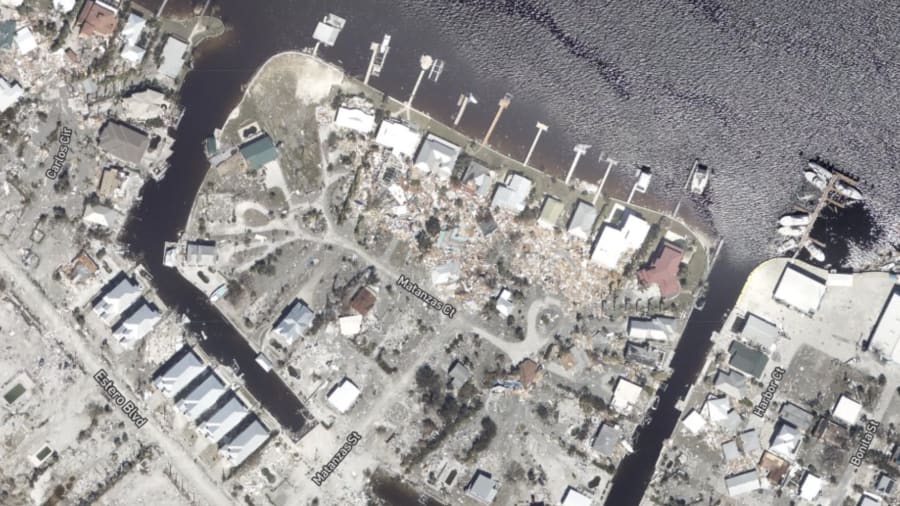

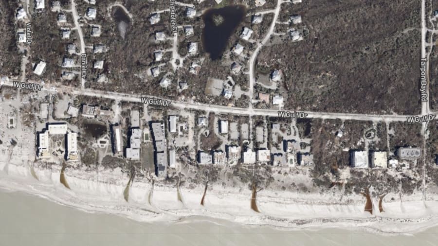
Here's a set of before/after imagery slider pages from the NOAA Rapid Response imagery coming out of Florida in the wake of #HurricanIan. Just terrible devastation in the wake of these unfortunate events. https://t.co/vZsDDExffz pic.twitter.com/Ov6iGtjW6T
— Greg Carbin ☮️ (@GCarbin) October 3, 2022


