SAN ANTONIO – Less than a week after the area's last round of severe storms, South Texas will be under the gun again Wednesday night.
A potent, springlike storm system will bring a chance of storms to much of Texas. Here's what you can expect.

TIMING: Most of Wednesday will be warm, humid and generally quiet. By the late afternoon and evening hours, a slight chance for storms will arise across the Hill Country and Edwards Plateau. Eventually, the storms will form into a line of storms, which will move east during the overnight hours. Those in San Antonio can expect the storms to arrive during the nighttime hours -- between 10 p.m. to 2 a.m.

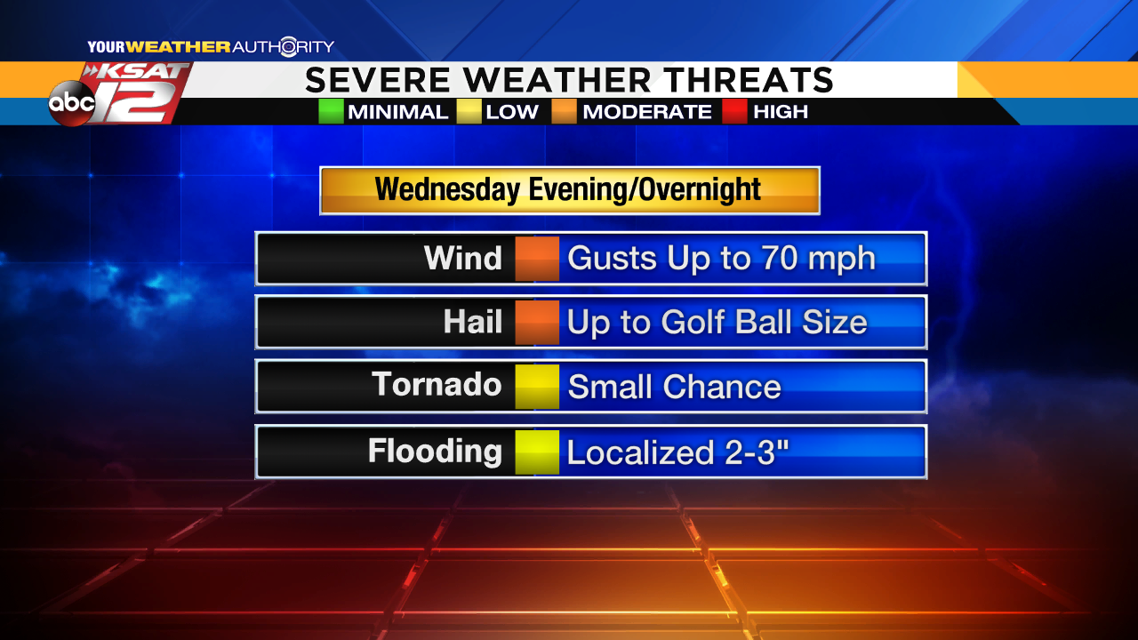
WHAT: When storms form late Wednesday, there is a good chance they could become severe. Large hail up to the size of golf balls and gusty winds up to 70 mph are the main threats. While a tornado cannot be ruled out, the chance for tornadic activity is low. Once the storms gather into a line, strong, gusty winds will be the biggest issue. Hail, however, will remain possible with any of the stronger storms.

WHERE: The best chance for severe weather will be across the Hill Country. The Storm Prediction Center has placed these areas in an "enhanced" risk (level 3 out of 5). The rest of South Texas, including San Antonio, is facing a "slight" risk (level 2 out of 5).

As always, the KSAT weather team will keep you updated on air, online and through social media.
Download the KSAT Weather app for iPhone and Android
Continued Weather Coverage
Stick with KSAT 12 News, your Weather Authority for the latest weather updates.
Remember, 'Turn Around, Don't Drown': Tips for staying safe while driving in the rain
Read more: CPS Energy offers power outage tips
-------------------------------------------------------
Download the KSAT 12 Weather app on your smartphone for the latest weather updates.
Click to download on iPhone OR click to download on an Android phone.
Keep up with the latest alerts from the KSAT Meteorologists with their Twitter stream below:


