| Location | 90 miles S of Knoxville Tennessee |
| Wind | 15 mph |
| Heading | E at 15 mph |
| Pressure | 29.77 |
| Coordinates | 84.1W, 34.5N |
Recommended Videos
Discussion
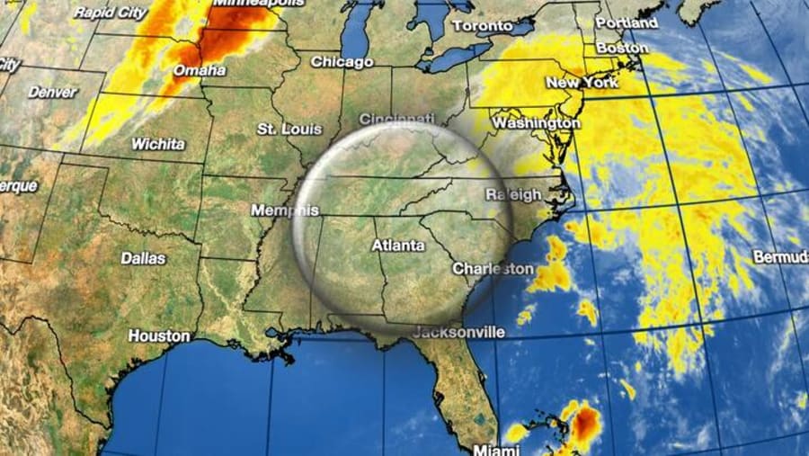
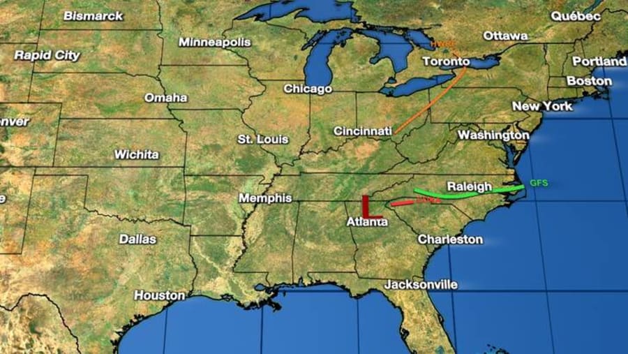
At 1100 PM EDT (0300 UTC), the center of Post-Tropical Cyclone Delta was located near latitude 34.5 North, longitude 84.1 West. The post-tropical cyclone is moving toward the east near 15 mph, and this motion is expected to continue tonight and Monday morning.
Maximum sustained winds are near 15 mph (30 km/h) with higher gusts. Some further weakening is possible tonight as a new surface low develops in the Carolinas, and Delta's surface low is expected to be absorbed by this new low pressure area on Monday.
The estimated minimum central pressure is 1008 mb (29.77 inches).

Watches and Warnings
Flood and Flash Flood Watches in and near the southern Appalachians will expire by midnight EDT Sunday night.

Land Hazards
RAINFALL: Across the Mid-Atlantic, 1 to 3 inches of rain, with locally higher amounts, are expected. Localized flash and urban flooding are possible, but overall hydrologic impacts are expected to be minimal.
Moderate to major river flooring will continue across the Calcasieu and Mermentau river basins in Louisiana through much of next week


