

| Location | 145 miles SW of Louisville Kentucky |
| Wind | 15 mph |
| Heading | E at 3 mph |
| Pressure | 29.47 |
| Coordinates | 87.4W, 36.6N |
Recommended Videos
Discussion
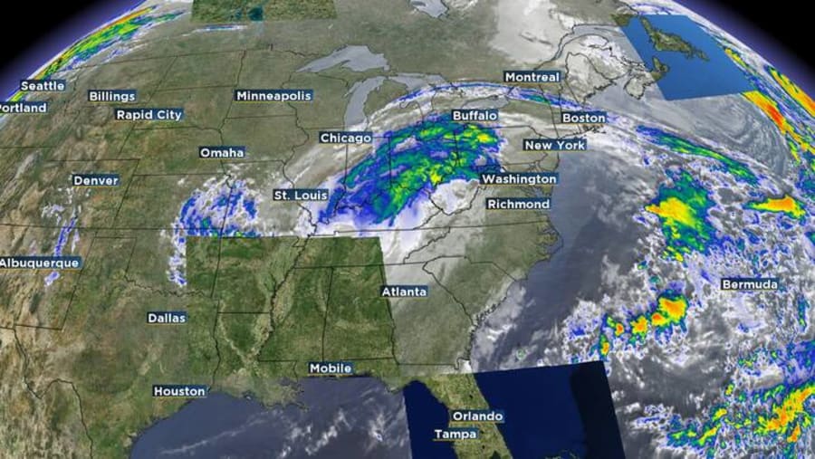
At 1000 AM CDT (1500 UTC), the center of Post-Tropical Cyclone Helene was located near latitude 36.6 North, longitude 87.4 West. The post-tropical cyclone is moving toward the east near 3 mph (6 km/h) and this slow motion is expected to continue before fully dissipating.
Maximum sustained winds are near 15 mph (30 km/h) with higher gusts. Little change in strength is forecast during the next 48 hours.
The estimated minimum central pressure is 998 mb (29.47 inches).
Watches and Warnings
There are no coastal watches or warnings in effect.
Several flood warning and advisories remain in effect across portions of the southern and central Appalachians through Saturday.

Land Hazards
Key Messages for Helene can be found in the Tropical Cyclone Discussion under AWIPS header MIATCDAT4 and WMO header WTNT44 KNHC and on the web at hurricanes.gov/text/MIATCDAT4.shtml
RAINFALL: The remnant low of post tropical cyclone Helene is expected to produce an additional 1-2 inches of rainfall across portions of the Ohio Valley and central Appalachians through Sunday, with some isolated 3 inch totals possible. Additionally, 1-2 inches of rainfall is expected across the western Florida Peninsula.
For a complete depiction of forecast rainfall associated with Tropical Storm Helene, please see the National Weather Service Storm Total Rainfall Graphic, available at hurricanes.gov/graphics_at4.shtml?rainqpf and the Flash Flood Risk graphic at hurricanes.gov/graphics_at4.shtml?ero.
For a list of rainfall observations (and wind reports) associated this storm, see the companion storm summary at WBCSCCNS4 with the WMO header ACUS44 KWBC or at the following link: www.wpc.ncep.noaa.gov/discussions/nfdscc4.html.
SURF: Swells generated by Helene will affect much the Atlantic Seaboard from Florida to Long Island NY through Saturday. These swells are likely to cause life-threatening surf and rip current conditions. Please consult products from your local weather office.

